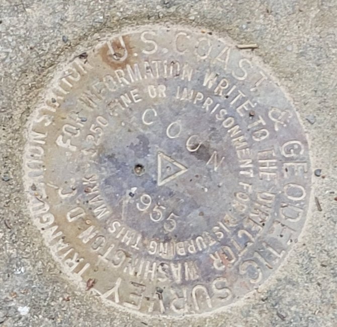
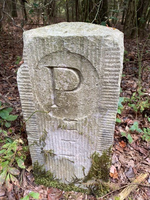
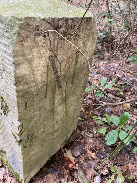
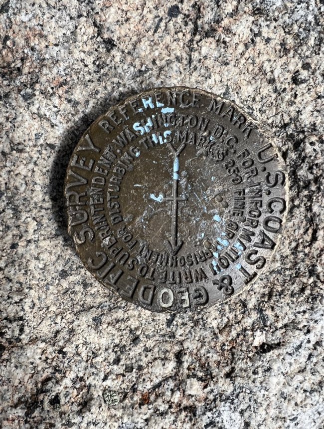
Have you ever found one of these old survey markers
- Thread starter Roro
- Start date
The #1 community for Gun Owners of the Northeast
Member Benefits:
No ad networks! Discuss all aspects of firearm ownership Discuss anti-gun legislation Buy, sell, and trade in the classified section Chat with Local gun shops, ranges, trainers & other businesses Discover free outdoor shooting areas View up to date on firearm-related events Share photos & video with other members ...and so much more!
Member Benefits:

Users who are viewing this thread

Latest posts
-

-
Can We Please Pin a Thread About the Current Status of Concealed Carry in Maryland? (1 Viewer)
- Latest: BurkeM
-

-
-
Forum statistics
Latest threads
-

-

-
-

-
-
-
Here I am!!! I've been a member for almost 2 years and still can't post or reply (3 Viewers)
- Started by 82peterbilt
- Replies: 16