Winter Doesn't Give Up in Garrett County

The #1 community for Gun Owners of the Northeast

Member Benefits:

  • No ad networks!
  • Discuss all aspects of firearm ownership
  • Discuss anti-gun legislation
  • Buy, sell, and trade in the classified section
  • Chat with Local gun shops, ranges, trainers & other businesses
  • Discover free outdoor shooting areas
  • View up to date on firearm-related events
  • Share photos & video with other members
  • ...and so much more!
  • j8064

    Garrett Co Hooligan #1
    Feb 23, 2008
    11,635
    Deep Creek
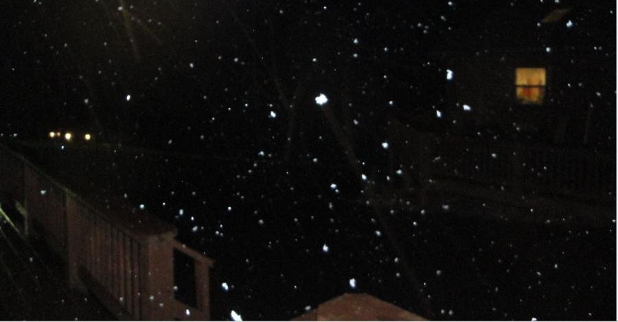
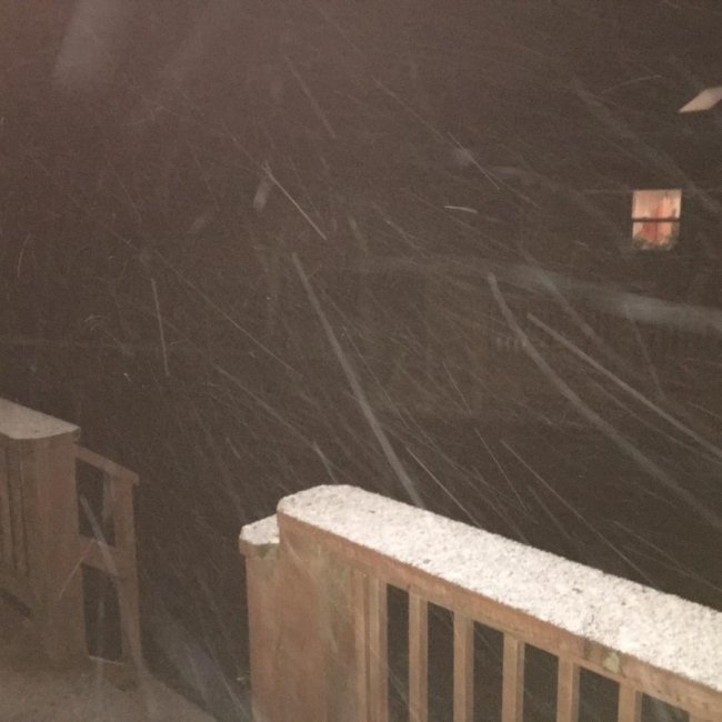
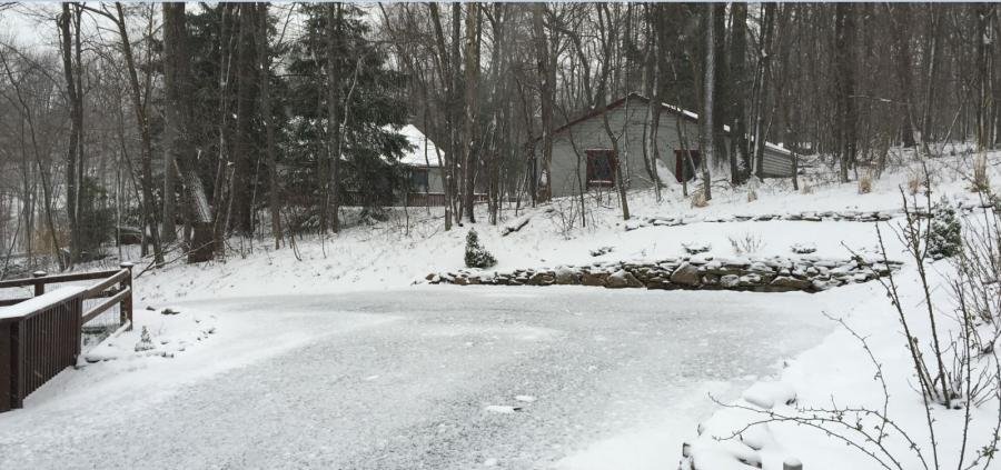
    When we bought a place in Deep Creek many winters ago it did not take me long to learn winter hangs around until after Memorial Day. Of course we had a relatively mild winter and a little snow now isn't a big deal, but we need warm days for the robins to get to nesting! Only then will spring have arrived! :thumbsup:

    Paging JoppaJ: :secret: Several robin pairs are scoping out nesting sites around our house. It could be a good spring for blue eggs... :fingerscrossed:

    Stay tuned... ;)
     

    Attachments

    • NWS Forecast 04_02_2016 Capture.jpg
      NWS Forecast 04_02_2016 Capture.jpg
      49 KB · Views: 499
    • NWS Forecast 04_02_2016 Capture - Snow Pic.jpg
      NWS Forecast 04_02_2016 Capture - Snow Pic.jpg
      34.2 KB · Views: 417

    j8064

    Garrett Co Hooligan #1
    Feb 23, 2008
    11,635
    Deep Creek
    The wind picked up and is blowing a gale out here.
    Stay safe.
     

    Attachments

    • Snow 04_02_2016 IMG_0740.jpg
      Snow 04_02_2016 IMG_0740.jpg
      73.4 KB · Views: 489

    j8064

    Garrett Co Hooligan #1
    Feb 23, 2008
    11,635
    Deep Creek
    I just finished hauling out the generator and hooked it up. That's always a fun chore in the dark. Let there be light, cable tv and Internet -> basic and important necessities...
    ;)
     

    j8064

    Garrett Co Hooligan #1
    Feb 23, 2008
    11,635
    Deep Creek
    It's Coming Baaaaaaaack...

    :banghead:

    Hazardous Weather Outlook

    NATIONAL WEATHER SERVICE PITTSBURGH PA
    204 PM EDT WED APR 6 2016

    MDZ001-PAZ074-076-WVZ510-512-514-071815-
    GARRETT-WESTMORELAND RIDGES-FAYETTE RIDGES- RIDGES OF EASTERN MONONGALIA AND NORTHWESTERN PRESTON- EASTERN PRESTON-EASTERN TUCKER-
    204 PM EDT WED APR 6 2016

    THIS HAZARDOUS WEATHER OUTLOOK IS FOR WESTERN MARYLAND...SOUTHWEST PENNSYLVANIA AND NORTHERN WEST VIRGINIA.

    THURSDAY THROUGH TUESDAY.

    SNOW SHOWERS WILL INCREASE THURSDAY NIGHT WITH SOME ACCUMULATION LIKELY. A WINTER WEATHER ADVISORY MAY BE REQUIRED.

    A SECOND MORE POTENT SYSTEM WILL SPREAD SNOW BACK INTO THE AREA
    FRIDAY NIGHT AND CONTINUE INTO EARLY SATURDAY. MORE SIGNIFICANT
    SNOW ACCUMULATIONS WILL BE POSSIBLE WITH THIS SYSTEM. A WINTER STORM WATCH MAY BE REQUIRED.
     

    j_h_smith

    Ultimate Member
    Jul 28, 2007
    28,516
    Good luck with this next round of storms. I hear it's only supposed to be 40 on Saturday and that's for the Baltimore area. I wonder if you will break above freezing there.

    Stay warm and stay safe.
     

    Pushrod

    Master Blaster
    Aug 8, 2007
    2,981
    WV High Country
    Weather channel is calling for up to 13" of snow down in Randolph County, WV where my home is at starting tonight 4/7 through Saturday. Low's are supposed to be in the single digits Saturday night. Hopefully this is winter's last gasp.
     

    j8064

    Garrett Co Hooligan #1
    Feb 23, 2008
    11,635
    Deep Creek
    Winter In Garrett County Ain't Over 'til It's Over...

    Only a little snow fell last night. Most of it melted quickly. But there's more slush on it's way.

    Enough already!

    URGENT - WINTER WEATHER MESSAGE NATIONAL WEATHER SERVICE PITTSBURGH PA 218 PM EDT FRI APR 8 2016

    GARRETT-WESTMORELAND RIDGES-FAYETTE RIDGES-
    RIDGES OF EASTERN MONONGALIA AND NORTHWESTERN PRESTON-PRESTON-
    EASTERN PRESTON-WESTERN TUCKER-EASTERN TUCKER-
    INCLUDING THE CITIES OF...OAKLAND MD...LIGONIER...DONEGAL...
    CHAMPION...OHIOPYLE...COOPERS ROCK...KINGWOOD...BRUCETON MILLS...
    TERRA ALTA...ROWLESBURG...HAZELTON...PARSONS...HENDRICKS...
    SAINT GEORGE...DAVIS...THOMAS...CANAAN VALLEY

    ...WINTER WEATHER ADVISORY REMAINS IN EFFECT FROM 9 PM THIS
    EVENING TO 5 PM EDT SATURDAY...
    * SNOW ACCUMULATION...3 TO 5 INCHES.

    * SNOW BEGINNING...BY 9 PM THIS EVENING.
    * PERIOD OF MOST INTENSE SNOW...MIDNIGHT TO 10 AM.
    * SNOW ENDING...LATE SATURDAY AFTERNOON
    * IMPACTS...HAZARDOUS TRAVEL CONDITIONS ARE EXPECTED DUE TO SNOW.
    WIND MAY DRIFT SNOW ON ROADS.
    * WIND...WEST 10 TO 20 MPH WITH GUSTS UP TO 35 MPH.
     

    Attachments

    • 04_08_2016 Capture.jpg
      04_08_2016 Capture.jpg
      77.2 KB · Views: 324

    BUFF7MM

    ☠Buff➐㎣☠
    Mar 4, 2009
    13,578
    Garrett County
    Weather forecaster got it wrong for last night, thank goodness, woke to about an inch of snow, and with the sun poking in and out from behind the clouds it's pretty much gone.
    Here's to hoping the white stuff is done until Christmas.:beer:
     

    j_h_smith

    Ultimate Member
    Jul 28, 2007
    28,516
    We've got winds at 30 mph and about 11-12 inches of snow on the ground and it doesn't look like it's going to stop any time soon.


    Oh wait, that was a flash back from a few months ago. :D
     

    Users who are viewing this thread

    Latest posts

    Forum statistics

    Threads
    275,603
    Messages
    7,288,051
    Members
    33,487
    Latest member
    Mikeymike88

    Latest threads

    Top Bottom